
Cranford Neighbors Block Sources
Public sources answer different questions about a Cranford block. A map helps orient the researcher, while the property file supplies parcel and owner context. A recorded deed may explain a transfer or legal description. Historical directories can place prior occupants in a dated street guide. None of these sources produces a complete list of everyone who lives nearby. The useful method is to begin with a confirmed parcel and record both the source and the date beside every result.
| Source | What It Shows About a Block | Access |
|---|---|---|
| Union County GIS | Parcel arrangement, aerial context, map layers, and adjacent geography | Public map for general reference, not a legal survey |
| Cranford Township Assessor plus NJ YourMoney Property Explorer | Owner and location, block and lot, assessed values, and classification per parcel | Public annual state data |
| Cranford tax maps | Sheet, block and lot sequence, and street relationship | Municipal map PDFs |
| Union County Clerk Official Land Records / UCPA | Transfer parties, dates, legal descriptions, and instrument references | Online from 1977, Record Room back to 1857 |
| New Jersey voter-list route | Statutory voter fields in a district or county list, with protected addresses excluded | Election-law fees and use limits apply |
| Cranford Library directories | Dated occupants and businesses by street or address | Digitized history from 1901 to 1982 |
An owner of record is not every neighbor. A parcel may be owned by an entity, trustee, relative, or nonresident owner, and a tax mailing address can be a correspondence address. Conversely, a resident can be absent from an ownership record. Describe a finding as an owner, property party, registered voter, historical occupant, or public contact, rather than treating one label as a complete household identity.
Confirm the Cranford Anchor Parcel
Begin with the modern street address and locate the parcel in the state property data or on the municipal tax-map sheet. Write down the situs address, block, lot, assessment year, and the owner field exactly as displayed. A situs address means the place where the parcel physically sits. It is different from a tax mailing address, which can identify where tax correspondence goes. The mailing field is a clue about correspondence, not proof that the listed party occupies the home.
If the address has changed or two nearby parcels look similar, use the block and lot with the deed’s legal description. The County Clerk index allows name, date range, book and page, and instrument-number searching. A deed may supply parties and an instrument date, but it must be read as a property transfer record, not as a current-neighbor list. Recent state data also have an annual-update caveat, so preserve the displayed data year before comparing results.
Map a Cranford Block Carefully
The Union County GIS experience is map-first. Use it to locate Cranford, turn on public parcel or relevant layers if they are available, pan to the anchor parcel, and note the adjoining parcel positions. The research did not confirm whether the live map provides click-adjacent, buffer, rectangle-select, measure, or parcel-result controls for Cranford. Do not describe an unverified control as though it is available.
- Address or block and lot → confirm the anchor parcel in property data or the tax map.
- Anchor parcel → use GIS only to observe the surrounding parcel pattern and map position.
- Map position → open each candidate parcel in the primary Property Explorer record, rather than copying a name from the visual map.
- Property record → check the Clerk’s deed index for an instrument, legal description, and transfer chronology when needed.
- Recorded result → label the finding by source and date, then stop at the public-record boundary.
Map proximity is not legal adjacency. Parcels across a street, easement, alley, or mapped gap can look next to each other but have a different legal relationship. Union County GIS says its maps are for general reference and are not a legal survey. Confirm a boundary with a surveyor or the recording office when a legal boundary matters.
Build a Cranford Neighbor Worksheet
A small worksheet prevents the common error of blending map observations and record facts. Give each surrounding parcel its own row. The worksheet can track the street or situs, block and lot, owner of record, public tax mailing address if shown, assessment year and value, classification, deed instrument and date, and a building-permit or inspection link if a relevant public record exists. Mark whether each entry is current annual property data, a historical deed, or a map-only observation.
| Column | Why it matters |
|---|---|
| Situs and block/lot | Identifies the parcel, even when a street description is unclear. |
| Source and access date | Separates a map observation from current annual data or an older document. |
| Owner field and mailing field | Keeps ownership and correspondence information from becoming an occupancy claim. |
| Instrument or book/page | Lets a researcher revisit the exact Clerk record. |
| Public historical source | Labels a directory or newspaper reference as dated context, not a current result. |
Cranford Building Department information can include permit status and history, inspections, and violations through its SDLPortal route or the department. The live portal’s exact field list and coverage were not captured. A permit can date work at an address, but it does not establish title, continuous occupancy, or who is a neighbor today.
Cranford Block Deed Dates
The calendar span of the land-record routes is useful context for a block search. The Union County Clerk’s web index begins June 1, 1977. The Record Room says it holds county land transactions from 1857 to the present. That contrast is a records-access number, not a claim that every older document appears online or that an indexed party was a resident at the property.
For a modern parcel, the web index may supply the instrument trail. For a pre-1977 transfer or an older image still being processed, move to the Record Room’s public terminals and copy access. The Clerk’s page notes that published web documents can be viewed and that certified-copy requests have their own workflow. Keep the recording date apart from image availability and current ownership data.
Note: A deed is strongest for transfer history and legal description, while the property file supplies current annual assessment context.
Cranford Neighbor Voter Routes
New Jersey’s direct voter lookup is a name-matching tool, not a confirmed street-wide display. State guidance says that hyphens, spaces, marriage surnames, middle initials, and nicknames can affect matching. A successful result can confirm the matching spelling, date of birth, city or county, and a Voter ID for account use. Because the live form was not inspectable in the research capture, do not assume its current required fields or result screen.
The statutory list route differs from a person lookup. The state statute identifies name, address, date of birth, party affiliation, and voting history as public list elements, subject to protected-person treatment. A printed election-district list is $0.25, and an electronic county copy may cost up to $375 for reproduction. Ballot choices are not public. The law bars commercial or charitable solicitation, and a voter list cannot be combined with parcel guesses to assemble a Cranford household roster.
Cranford Community Context Contacts
The Township’s public organizations listing gives context for a Cranford neighbors search without identifying members or households. These are public-facing community contacts, not resident rolls, HOA master lists, block-watch rosters, or a claim that anyone listed belongs to a particular group.
Centennial Village Group
Named on the Township organizations page as a public community lead. The research did not locate a public membership or household directory.
Cranford West Committee
Township-listed committee focused on awareness, preservation, and enhancement of the Cranford West campsite.
Historical Society and Friends
Historical Society and Friends of the Library appear among public civic organizations, useful for community-history contact context.
Service and civic groups
The public list also names groups such as Rotary, United Way, Garden Club, and Newcomers, without publishing a current roster claim.
The Cranford West Committee’s official page is a place-specific example of community context rather than a neighbor directory.
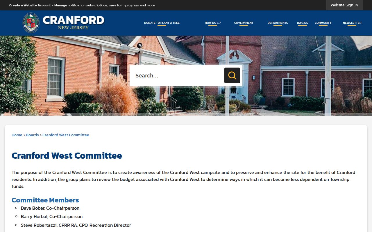
Use a published committee purpose or contact route to understand a public local concern. Do not infer membership, home addresses, or a block affiliation from that context.
Cranford Neighbor Sources Compared
Official parcel, clerk, and organization sources preserve where a claim came from. Commercial neighbor-lookup categories may combine property and other data, but they can merge same-name people, stale owners, and occupants without source-level proof. The difference matters most on a closely built block where a name alone is a weak identifier.
| Official record route | Commercial lookup category | Careful conclusion |
|---|---|---|
| Property Explorer or tax map | Compiled address result | Use the official parcel key and record date before calling someone an owner. |
| County deed index | Summarized transfer history | Read the recorded parties and legal description in the primary record. |
| Township organization page | Suggested community associations | Use only a published contact or purpose, never a presumed membership list. |
| Statutory voter-list channel | Address-associated names | Observe public-field and use limits; do not infer every household member. |
For the full address-by-address record sequence on a named road, use the Cranford street directory. That route focuses on the street trail, while a neighbor search stays limited to the immediate block around one confirmed parcel.
Cranford Neighbors in Historical Context
Past neighborhood context comes from dated sources. Cranford’s library collection has city directories from 1901 through 1982, including a 1941 Polk volume with a complete street and avenue guide. That guide can show a past occupant or business by address, but it is a snapshot in a regional volume that also includes nearby municipalities. Confirm the place and year before tying an entry to a particular Cranford parcel.
The library’s Rotary biographies cover 1923 through 1969 and may document public-facing civic roles. They are not a current membership roll. The Township organizations page and the library’s historical collections can provide context for a block’s public history, but neither establishes who currently lives beside an address. Old directories and biographies should be paired with a deed, probate record, or another dated primary source when identity matters.
Cranford Neighbor Lookup Limits
New Jersey OPRA makes government records available unless an exemption or other law restricts them. It does not turn private household information into a public neighbor file. A precise request can name a record category and date range, but OPRA does not override voter protections, court rules, vital-record limits, the Driver’s Privacy Protection Act, the Address Confidentiality Program, or Daniel’s Law. A custodian can deny or redact protected material.
Protected addresses may be absent by design. New Jersey’s Address Confidentiality Program provides a substitute legal address to eligible participants, and Daniel’s Law limits posting of protected public-servant addresses. There is no confirmed official HOA master list, block-watch roster, neighborhood association member directory, or public group-membership list for Cranford. Utility customers, delivery information, and private group rosters are not substitutes for an official parcel record.