
Cranford ZIP Code Directory Coverage
Only one postal ZIP is verified for Cranford in the reviewed official sources: 07016. It is the ZIP shown for official Cranford mailing addresses and the local post office. That is enough to verify a postal answer for an individual address, but not enough to draw a municipal boundary, identify neighborhoods, or claim every 07016 delivery point lies inside the township. Check a border address through USPS and then through the relevant municipal or parcel record.
| ZIP | Areas | Post office | Notes |
|---|---|---|---|
| 07016 | Cranford mailing addresses; exact delivery shape must be checked address by address | Cranford Post Office, 3 Miln St., Cranford, NJ 07016-9998 | Verified serving ZIP. No separately verified PO-box-only or unique-institution ZIP was located. |
The Cranford Post Office lists phone 908-276-3506, retail hours Monday through Friday 9 to 5 and Saturday 9 to 1, with Sunday closed. Service availability varies by location. Those facts identify the postal location, not the exact boundary of a delivery route.
Cranford Postal Lookup
The official USPS ZIP Lookup provides three distinct routes: By Address, By City and State, and Cities by ZIP. For a property question, By Address is the most direct route because it starts with a complete delivery address. USPS says standardized addressing improves results. A returned ZIP does not verify that a person or company is at the location.
| USPS lookup mode | Verified fields and action |
|---|---|
| By Address | Optional Company; required Street Address, City, and State; then Find by Address. |
| By City and State | City and State; then Find by City & State. |
| Cities by ZIP | ZIP; then Find Cities by ZIP. |
Use the exact city, state, and ZIP returned by the official tool. If that postal result differs from a municipal label in another record, keep both facts separate and verify the legal municipality through the property, GIS, or deed record.
For a Cranford address, preserve the full delivery result rather than retaining only 07016. The street number, street name, postal city, state, and ZIP are the postal record. Next, match that address to a Cranford tax-map sheet and the corresponding block and lot. The tax map is the municipal parcel layer, while USPS is the delivery layer. A recorded deed may use a legal description instead of either wording, so its block, lot, or prior-deed reference can be the most stable bridge when an address appears differently across sources.
Use a Cranford ZIP Resident Workflow
A ZIP is the outer check, not the final key for a person or parcel. The careful order below avoids turning a postal label into a list of people or a property boundary.
- Run the full address through USPS By Address and copy the postal city, state, and ZIP exactly as returned.
- Check the address against a Cranford tax map and record its block and lot. Tax-map sheets use the parcel key, not a ZIP-wide list.
- Search the NJ Property Explorer by address or location and record the data year, location, owner information, block/lot, values, taxes, and classification.
- Use Union County GIS for geographic orientation, but confirm a parcel boundary with the appropriate official land record or survey source.
- Search the owner and legal description in the County Clerk index when a recorded transfer is needed. For street-by-street parcel work, use the Cranford Street Directory workflow.
New Jersey Voter Registration Status is a name-matching service, not a confirmed ZIP search. Its visible public-law context does not create a ZIP-wide resident result. Likewise, the Cranford Building SDLPortal is property and permit oriented, not a verified ZIP browse.
Cranford ZIP Property Search Fields
New Jersey YourMoney Property Explorer is the confirmed public property source for location and parcel research. It reports owner and location information, block and lot, annual land and building assessments, prior taxes, and property classification. It is useful after USPS has standardized an address, but the reviewed official page did not expose a reliable ZIP filter, ZIP-wide mode, result cap, export button, or confirmed field label for a ZIP query.
| Property Explorer field | Verified role |
|---|---|
| Location or address | Property location or map-oriented address result. |
| Owner information | Published owner information, not proof of current occupancy. |
| Block and lot | New Jersey parcel identifier for comparing tax map, GIS, and deed records. |
| Land assessment | Annual assessed land value. |
| Building assessment | Annual assessed building value. |
| Prior taxes | Tax-history context. |
| Classification | Property-classification data. |
| ZIP filter | Unverified. Do not assume the explorer accepts a ZIP filter or returns ZIP-wide parcel rows. |
Data changes after the January file may wait until the next file. A tax mailing address, if displayed, is a correspondence destination and may differ from the property’s situs address.
Cranford ZIP Code: One Verified Result
The important number is one: 07016 is the verified Cranford postal ZIP, while no official source in this research set verified a local ZIP split, realignment year, unique institutional ZIP, PO-box-only ZIP, ZIP-specific population, or ZIP-specific voter total. Keeping that list of absences visible is more useful than filling a ZIP code directory with unverified regions or postal claims.
Cranford is a Union County township in the Rahway River corridor, and official Census context identifies about 4.84 square miles of municipal area. That municipal statistic is not a ZIP measurement. It simply reinforces why postal delivery geography, town limits, tax parcels, and Census geography must not be treated as interchangeable.
Cranford Postal Portal Limits
Several local systems are valuable after a postal address is known, yet none was confirmed as a ZIP-directory search engine. Cranford tax maps use sheet, block, and lot. Union County GIS provides layers and map context, but no verified ZIP field or ZIP-wide parcel tool. The state voter service is person and match oriented. Building SDLPortal offers property and permit information after account registration, including status/history, inspections, and violations, but no verified ZIP-wide browse.
The Cranford Township Assessor and state Property Explorer provide the property route, while Union County Clerk Official Land Records/UCPA provides Name, Date Range, Book/Page, and Instrument Number search modes for recorded instruments. For older land research, the Clerk’s Record Room holds countywide transactions from 1857 to present even though the online index begins June 1, 1977.
Cranford ZIP Code Municipal Boundaries
ZIP codes are Postal Service delivery constructs. Township limits, property-tax parcels, school areas, and other local geography answer different questions. A safe Cranford description is “addresses using 07016,” not “all land inside Cranford.” For an address near a border or with an unexpected postal city, retain the USPS result, then separately determine the legal municipality from the assessor, GIS context, or a deed’s legal description.
- ZIP
- A five-digit Postal Service routing code used with a delivery address.
- ZIP+4
- An added four-digit delivery detail used with the basic ZIP. It is not a municipal boundary or a resident identifier.
- PO box ZIP
- A ZIP used for post-office-box delivery. No Cranford PO-box-only ZIP was verified in the reviewed sources.
- Unique ZIP
- A ZIP assigned to one institution or large recipient. No Cranford unique-institution ZIP was verified here.
- Carrier route
- A mail-delivery grouping. It does not establish a town line, property boundary, or list of occupants.
Cranford Postal Census Context
The Census Bureau’s ZIP Code Tabulation Areas, or ZCTAs, are statistical approximations. They are not the Postal Service’s delivery boundaries. A Census ZCTA can help interpret tabular geography, but it cannot replace USPS when verifying an address and should not be used to decide which properties are in Cranford. The distinction matters when an address, a township line, and a postal city do not align.
The following Census geography reference source image provides the context for that ZCTA-versus-postal-boundary distinction.
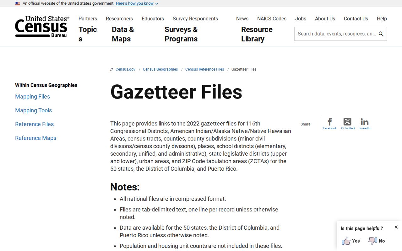
Use a ZCTA only as statistical context, then return to an official USPS address result and the parcel record for a location-specific answer.
Cranford ZIP Code Post Office
The official Cranford Post Office location page is the local postal source for the 3 Miln Street facility and 07016-9998 address. It complements the ZIP Lookup tool: the location page identifies a post-office facility, while the lookup tool verifies a postal city, state, and ZIP for a supplied address. Neither one supplies ownership, municipal-boundary, or household information.
This USPS Cranford Post Office source image is the assigned visual record for the local postal channel.
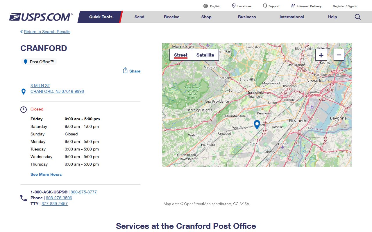
Check the live Postal Service result for current service details and use the complete address lookup for a delivery question.
Cranford ZIP Code Privacy Boundaries
A postal code does not create a public address list. Property results identify parcels and published owner information; voter records have their own statutory fields, restrictions, and protected-address rules; and older directories are dated publisher records. Do not combine those sources into a claim that every person connected with an address or ZIP is publicly listed.
New Jersey Open Public Records Act (OPRA), N.J.S.A. 47:1A-1 et seq., applies subject to exemptions and other controlling law. A focused request identifies the record category and time period. It does not require a custodian to release protected addresses or turn a postal ZIP into a general resident roll.