
Follow a Cranford Street Address
A useful Cranford street directory search treats the address as a join key, not a household roster. Start with the current physical location, then use the municipal map and parcel number to connect separate records. Ownership, recorded transfers, construction events, voter-list rules, and historical occupants answer different questions. Keeping those distinctions clear prevents a tax mailing destination, a map label, or one old directory entry from being mistaken for current residence.
- Enter the modern address or map location in New Jersey YourMoney Property Explorer. Record the situs, owner information, block, lot, data year, and every field exactly as shown.
- Match the parcel to the Cranford tax-map sheets, numbered 001 through 033-01 with revisions. The sheet supplies the present map relationship between a street and its block and lot.
- Use Union County GIS for map context, then carry the address or parcel key forward. Its layers can orient a street segment and surrounding geography.
- Search the owner and a narrow date range in the Union County Clerk Official Land Records/UCPA index. Read the legal description and prior reference from a deed image where one is published.
- Check the Cranford Building Department and the historic street guide as separate layers. Permit events date work at a property, while the older guide can place an occupant or business at an address in its publication year.
Note: preserve a record date with each address result because the state property file may not display changes made after its January file until the next release.
Cranford Street Directory Parcel Keys
Street numbers can change in use or appear differently in a historic source. Cranford’s map-and-records key is the municipality, block, and lot. A deed can retain that legal description even when a newspaper or directory uses a common street address. The tax maps, GIS context, assessor record, and deed should be read together, especially when a historic entry carries a regional place label rather than a modern web address.
- Parcel
- A mapped unit of land identified for tax and land-record purposes. In Cranford, block and lot help connect it to a map sheet and recorded instrument.
- Situs address
- The physical location of a parcel or structure. It is distinct from the address used for tax correspondence.
- Plat
- A recorded map or subdivision instrument that can help connect a legal lot to street geography.
- Street guide
- The address-oriented section of a printed directory. Cranford’s verified guide appears within the 1901-1982 directory run.
For an older location, compare the legal description, cross streets, nearby parcels, and map year before treating two numbers as the same address. No verified Cranford street-renumbering or renamed-street project was found in the reviewed official material, so no conversion year should be assumed.
Cranford Street Directory Property Fields
The state explorer is the confirmed public property route for a Cranford address. The Cranford Township Assessor determines full and fair value under New Jersey law, but its municipal page does not embed an owner-name search. Use the statewide result to establish the parcel, then call the Assessor at 908-709-7211 when an assessment question cannot be resolved from the annual data. A mailing address is a correspondence field, not evidence that the named party lives at the situs.
| Property Explorer field | What the address result provides |
|---|---|
| Location or address | Property location or map context, using the current standardized address where possible. |
| Owner information | Published owner information that must be distinguished from an occupant. |
| Block and lot | The parcel key for cross-checking a Cranford tax map, GIS context, and deed description. |
| Land and building assessment | Annual assessed land and building components. |
| Prior taxes and classification | Tax-history context and the property-classification field. |
| Mailing address | A separate correspondence destination when displayed, which may differ from the physical situs. |
The accessible state summary did not verify a Cranford street-wide export, a reliable ZIP filter, card layout, exemption flags, or a public sketch. Browse an address or map result parcel by parcel instead of promising a one-click list of a whole street.
Cranford Street Directory Record Layers
Each address-keyed source has a limited function. The coverage below keeps a Cranford street search grounded in the custodian and access route that actually holds the record.
| Address record | Custodian | Street-level contribution | Access channel |
|---|---|---|---|
| Property Explorer | NJ YourMoney / Cranford Township Assessor | Owner and location information, block/lot, values, taxes, classification | Public web result; Assessor phone route for questions |
| Tax maps | Cranford | Map sheet, block/lot, and street geography | Municipal PDF map page |
| GIS | Union County | Map layers, aerial context, and surrounding geography | Public map, subject to its general-reference notice |
| Land instruments | Union County Clerk | Recorded parties, dates, legal descriptions, book/page, instrument number | UCPA web index and Record Room terminals/copies |
| Tax account | Cranford Tax Collector | Payment history, assessed value, and current bill context | Linked online account, ACH, mail, counter, or drop box; exact account URL was not verified |
| Building records | Cranford Building Department | Permit status/history, inspections, and violations | SDLPortal after account registration or department contact |
| Voter list or lookup | New Jersey / Union County | Statutory registered-voter fields, not a household roster | State person lookup or lawful county list-request route |
| Historic directories | Cranford Public Library / DigiFind-It | Address-era occupants and businesses | Digitized archive and library local-history channel |
| Newspaper index | Cranford Library archive | Address and event leads, including notices and obituaries | Digitized archive and Burditt name-index route |
A parcel number ties the current property and map layers to a deed’s legal description. The street name is helpful, but it is weaker when records use an older number or a regional directory label.
Cranford Parcel Map Context
Union County GIS is a map-first reference tool. Locate Cranford, pan to the street segment, and use a parcel or other public layer only when it is visible in the live map. A map may help compare adjacent geography, waterways, districts, and the street’s layout before a block and lot is checked in the property or Clerk workflow. County aerial imagery began in 1999, and the county says layers are updated periodically.
The map is not a legal survey. The reviewed material does not confirm the exact Cranford parcel-layer name, search field, identify-card fields, measure button, or select control. A surveyor or the recording office remains the source for an official boundary question.
Trace Deeds on a Cranford Street
UCPA offers Name Search, Date Range Search, Book/Page Search, and Instrument Number Search. After identifying an owner and parcel, search the owner as a grantee with a narrow date range. A published deed image can supply the grantor, grantee, recording date, book/page or instrument number, legal description, municipality, block/lot, and prior deed reference. Search an earlier seller as a grantee to continue the recorded transfer trail.
The County Clerk’s online index begins June 1, 1977 and remains current. Images for documents before January 1986 are still being processed. The Union County Clerk Record Room states that county land transactions are available from 1857 to present, with public terminals and paper or copy access. Certified copies use the Clerk’s separate request workflow. These office routes matter when an online image is absent or the chain reaches before the web interface.
The following Union County official-records search image shows the source environment associated with the land-record step.
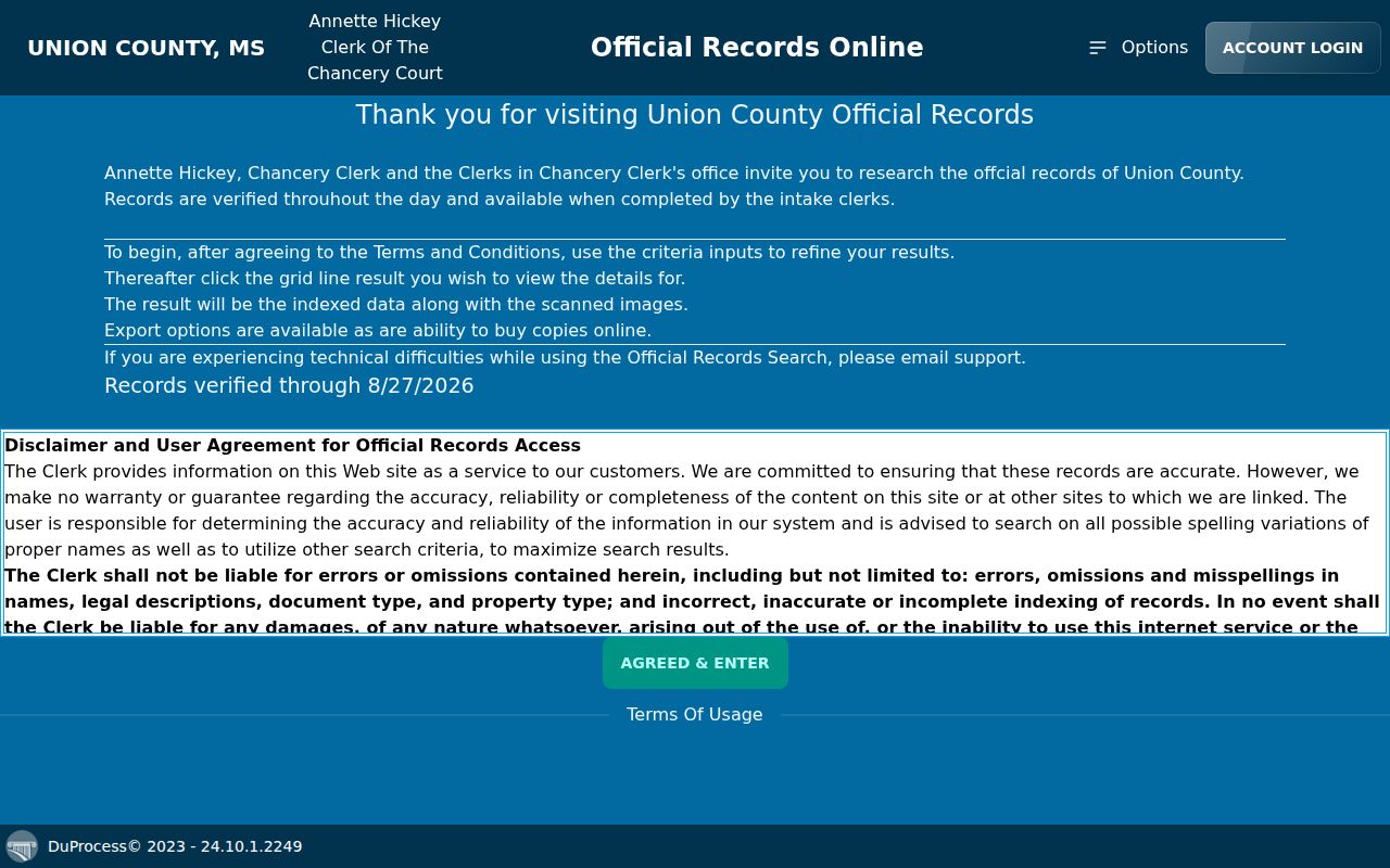
Use a returned instrument to carry the legal description into the next search, rather than relying on a street name alone.
Cranford Street Directory Permit History
The Cranford Building Department describes address-related information for Cranford and Garwood, including permit status and history, inspections, and violations. SDLPortal requires account registration. Its documented online uses include checking permit status and scheduling inspections. A permit may help date construction, alteration, inspection, or a code event, but it is not a deed and an application name is not automatically the owner.
The source material does not verify SDLPortal’s final property-search URL, filters, date coverage, export controls, result limit, or every field on a permit card. The department can be reached at 908-709-7213; use the office channel when the portal does not provide a complete answer. Do not infer an unverified cutoff or browse mode.
This Cranford Building Department source image places the permit, inspection, and violation guidance in the address workflow.
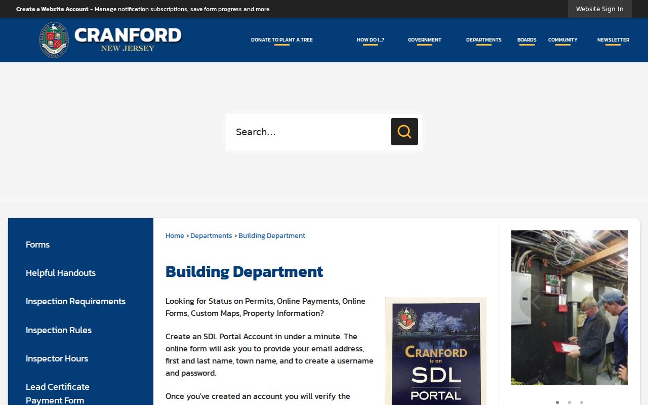
Pair a dated permit event with the parcel and recorded deed trail before drawing a conclusion about a property’s history.
Cranford Street Directory Historical Guides
Cranford’s verified address-to-occupant source is the street and avenue guide in the 1901-1982 city-directory run. The Cranford DigiFind-It archive provides the digitized collection, while the Cranford Public Library local-history page identifies the broader local archive. The 1941 R.L. Polk volume combines an alphabetical household and business section with a complete street and avenue guide, but it also covers Westfield, Mountainside, Garwood, and Kenilworth.
Search the street guide by number, then use the alphabetical section for spelling variants, initials, abbreviations, and the regional place label. A directory is an annual snapshot. It can establish that a publisher printed an occupant or business at an address, not current residence, ownership, or a relationship. The library has not confirmed a separate reverse-directory or telephone-book series, so the street guide is the supported historical route.
Cranford Street Records Across 1857
The useful number in a long street history is not just the online start date. Union County says its Record Room holds countywide land transactions from 1857 to present, while UCPA’s web index begins June 1, 1977. That gap is an access transition, not proof that earlier property records disappeared. Cranford became a township in 1871, so county-level land research can also reach instruments that predate the township’s municipal incorporation.
For the twentieth-century address layer, Cranford directories run from 1901 through 1982. The property trail can therefore move between the Clerk’s county records, map keys, and printed address evidence without turning a web-interface boundary into a history boundary. If an instrument is unavailable online, ask the Record Room about the appropriate terminal or copy route rather than assuming the search ends there.
Cranford Voter List Boundaries
New Jersey’s official Voter Registration Status route is person-oriented. State guidance warns that matching can depend on the county-provided name, including spaces, hyphens, middle initials, nicknames, and a changed surname. It does not establish a public whole-street browse. For election information and official county routing, use Union County Votes or the state’s 1-877-NJ-VOTER and 609-292-3760 contacts.
Under N.J.S.A. 19:31-18 and related sections, the public voter-list framework covers specified name, address, date-of-birth, party-affiliation, and voting-history elements, subject to protected-person treatment. A printed district list is $0.25 per election district for a voter, and an electronic county copy can cost up to $375 for reproduction. Ballot choices are not public. The statute also restricts commercial and charitable solicitation, and protected addresses may be suppressed.
Cranford Address-Record Boundaries
A street address is not proof of every person connected with a property. Property results identify a parcel and published owner information. A tax mailing destination can belong to an entity, representative, or another correspondence point. Voter lists identify registered voters only under the statutory process. Older directories record what a publisher printed at a moment in time. None of those records creates a complete list of everyone associated with an address.
New Jersey’s Open Public Records Act (OPRA), N.J.S.A. 47:1A-1 et seq., opens government records unless an exemption or other law controls. It does not require release of protected addresses or turn each source into a general resident list. A focused request should identify the record category and date range, and the custodian may redact or deny material under OPRA, election law, court rules, or another governing restriction.